Discover how geospatial mapping tools enable real-time disease tracking, helping health teams respond faster and manage outbreaks effectively.
Disease surveillance in real-time has emerged as a strategic concern of the leaders of public health, the executives of the healthcare system, as well as the authorities of the emergency response globally. The old ways of reporting, which are usually late, disjointed, and reactive, are no longer adequate in a world that is characterized by the quick spread of diseases, outbreaks caused by climate change, and mobility worldwide.
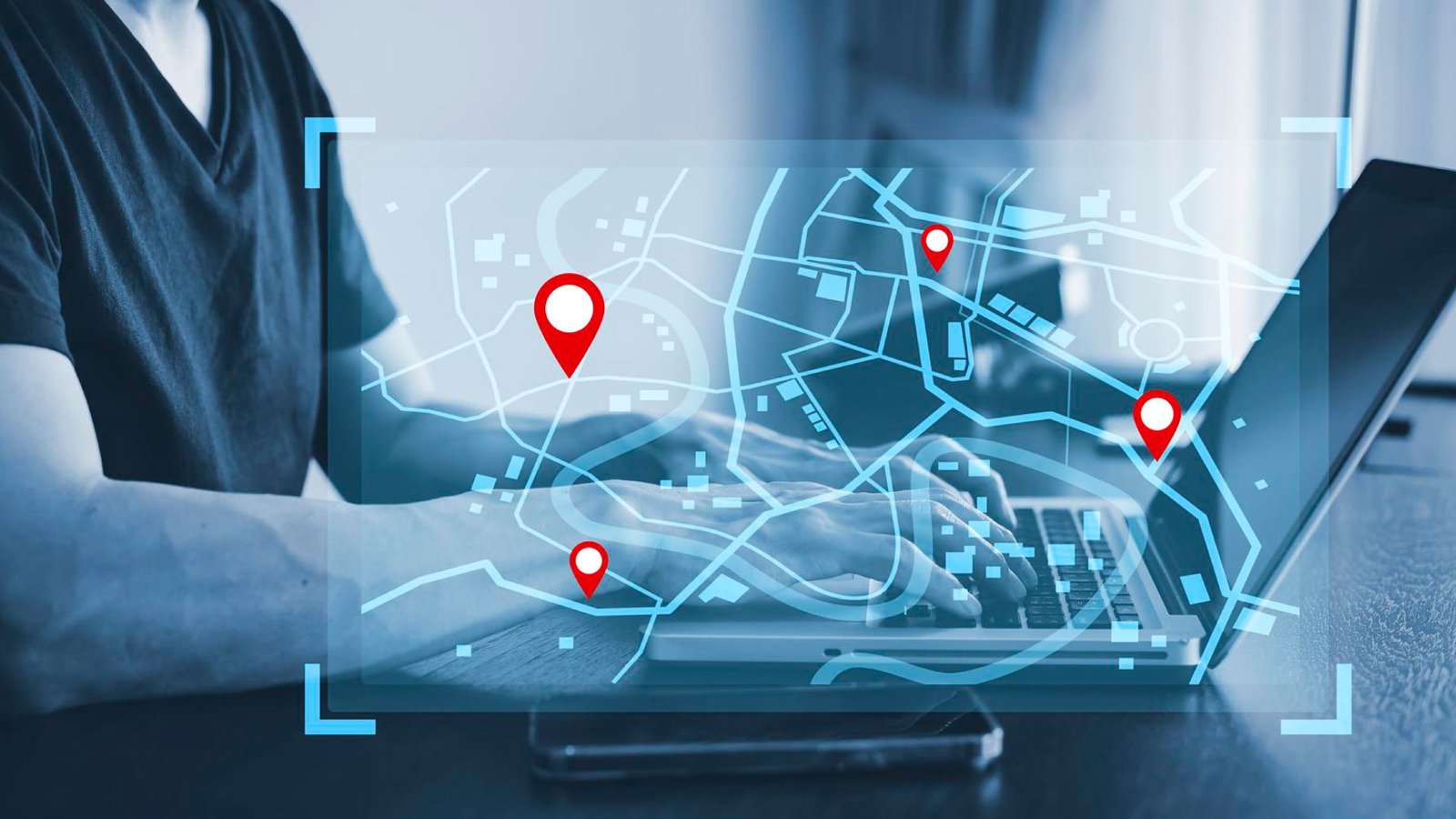
Geospatial Mapping Tools are GIS-driven real-time data integration tools that are reinventing the way decision-makers identify, track, and control the spread of the disease. These tools can help speed up interventions based on data, which can be predicted faster, and help to organize the hospital capacity.
Geospatial intelligence is no longer discretionary to the public health officials, policymakers, and healthcare administrators, but it is a cornerstone to strong, resilient and responsive health systems.
Table of Contents:
1. Strengthening Real-Time Disease Surveillance Through Geospatial Intelligence
1.1 How GIS Enables Early Detection and Outbreak Visibility
1.2 Integrating Multisource Data for Situational Awareness
1.3 Decision Support for Epidemiologists and Surveillance Leaders
2. Optimizing Healthcare System Readiness and Resource Allocation
2.1 Hospital Capacity Planning and Load Forecasting
2.2 Real-Time Resource Deployment and Emergency Logistics
2.3 Equity-Driven Population Health Management
3. Enabling Proactive Public Health Policy and Global Preparedness
3.1 Policy Planning and Risk Modeling at the Population Scale
3.2 Cross-Border Surveillance and Global Collaboration
3.3 Research, Innovation, and Predictive Analytics
Conclusion
1. Strengthening Real-Time Disease Surveillance Through Geospatial Intelligence
1.1 How GIS Enables Early Detection and Outbreak Visibility
Geospatial Mapping Tools combine epidemiological data, laboratory reports, mobility patterns and environmental indicators into real-time visual dashboards. The World Health Organization (WHO) states that by responding to the outbreak promptly, it is possible to limit its spread up to 30% by early detection of the disease.
This gives epidemiologists and surveillance teams the capacity to detect clusters of the disease in days, or even in weeks, before the usual reporting systems would have done. The global GIS dashboard of Johns Hopkins University was an essential decision aid during the COVID-19 pandemic, showing cases, deaths, and recoveries on the continents in almost real-time.
1.2 Integrating Multisource Data for Situational Awareness
The current GIS systems combine hospital and laboratory data, wearables, wastewater, and movement data on their side. This merger forms one point of truth in the assessment of the outbreak to government health agencies. Geospatial surveillance of influenza, measles, and emerging zoonotic threats in EU member states is established by the European Centre for Disease Prevention and Control (ECDC), which better coordinates cross-border responses and enhances response times to these outbreaks.
1.3 Decision Support for Epidemiologists and Surveillance Leaders
Interactive maps enable the involvement of the public health officials to simulate outbreaks, assess intervention scenarios and prioritize the high risk populations. The analysis conducted by the CDC revealed that the use of the GIS-enabled surveillance resulted in a 25% higher accuracy of the response planning during the multi-state outbreak investigations in the United States . To epidemiologists, this is translated into evidence-based decision making as opposed to crisis management in reaction.
2. Optimizing Healthcare System Readiness and Resource Allocation
2.1 Hospital Capacity Planning and Load Forecasting
To the leaders of the healthcare systems and the administrators of the hospital, geospatial mapping will provide forecasting on the number of patients flooding. Through the superimposition of infection data and hospital locations, ICU beds and personnel, leaders can increase and decrease beds, ventilators, and staff in advance. The capacity dashboards powered by GIS were used during COVID-19 to redistribute critical care resources by U.S. state health departments to decongest ICUs in areas with high transmission.
2.2 Real-Time Resource Deployment and Emergency Logistics
Geospatial tools help emergency response teams coordinate ambulance routes, temporary care centers, and vaccination centers. In Europe, GIS-based logistics planning has allowed the quicker deployment of mobile testing units in case of COVID-19 waves, with response time saved by 20-25%, based on European Commission health reports.
2.3 Equity-Driven Population Health Management
The geospatial analytics can also demonstrate the inequity in health by mapping the occurrence of diseases against socioeconomic indicators like income, housing density, and care accessibility.
GIS knowledge was used by policy makers in the field of public health in the United States to focus on the communities that lacked access to proper healthcare and vaccination, thus helping to achieve better vaccination coverage and decreasing the mortality rate inequality.
This will make sure that resources are used where they would have the most population-level effect in the opinion of the decision-makers.
3. Enabling Proactive Public Health Policy and Global Preparedness
3.1 Policy Planning and Risk Modeling at the Population Scale
GIS-based models are gaining popularity as tools used to inform long-term health policy by government health agencies. The economic and population health trade-offs associated with various policy conditions, such as lockdowns, vaccination rates, and travel restrictions, can be evaluated by policymakers in advance by simulating the outbreak situation of different conditions. WHO highlights that evidence-based policy modeling can enhance preparedness outcomes by 40% in high-risk areas.
3.2 Cross-Border Surveillance and Global Collaboration
There are no country borders of the disease threats. Interoperable geospatial platforms have been employed by NGOs and international health bodies to disseminate real-time surveillance information on a regional level. In Africa and the Middle East, polio outbreak control efforts are tracked by WHO and UNICEF initiatives on GIS, which allow coordinated actions and quick control of cross-border spread.
3.3 Research, Innovation, and Predictive Analytics
Geospatial data is used by research institutions to find relationships between climate change, urbanization, and the outbreak of illnesses. Research articles in The Lancet have indicated that the predictive models created with GIS can predict with an accuracy of 70-80% occurrence of a disease spread by vectors, including dengue and malaria, hence justifying previous prevention measures. To leaders of research, this enhances faster innovation coupled with increased real-world impacts.
Conclusion
Geospatial Mapping Tools are transforming the real-time tracing and management of diseases by the decision-makers in the field of public health and healthcare. GIS-driven platforms build upon fragmented data to provide actionable intelligence by facilitating early detection, optimizing healthcare capacity, and informing proactive policy.
To the public health authorities, hospital administrators, policymakers, and the international health organizations, these tools would aid quicker reaction, clever resource allocation, and more even health results. Geospatial intelligence remains more than a technological upgrade in the face of increasingly complex and interconnected disease threats: it is a strategic requirement of resilient and healthy systems of the future.
Discover the latest trends and insights—explore the Business Insight Journal for up-to-date strategies and industry breakthroughs!